Starlings Gap Campground
Last Updated Dec 2014 | Originally suggested by Peter
![]()
![]()
![]()
![]()
![]()
![]()
An attractive ridge top site designed mainly for car/tent camping.
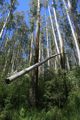
The well grassed camping/picnic ground descends from the roadside parking area surrounded by lush green wet sclerophyll forest - large Mountain Ash with a dense understory of Blackwood, wattles and tree ferns. Shade to the parking area is limited until late afternoon.
Facilities (4 fireplaces, 5 tables, shelter and WC) are new and the area is well maintained.
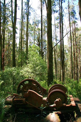
Nearby are old sawmill sawdust heaps and tramway graded tracks. Starlings Gap is the centre of over 100k of walking trails. The Gap can be crowded with bush walkers at weekends.
Facilities and activities at Starlings Gap
- Number of sites:
-
0
- Camping Fees:
-
Free Campground.
- Bookings:
-
This is a free camping area.
- How to book:
-
First in, best dressed
- Toilets:
-
Longdrop or composting
- Pets:
-
Pets are allowed with conditions
- Water Availability:
-
Non-potable water may be available. Boil all water for at least 10 minutes before drinking.
- Camp fires:
-
Fires may be allowed in built fire places. Please check local fire bans and rules.
- Barbeques:
-
Wood barbeques are available. Bring firewood and check firebans.
- Swimming:
-
There are no known swimming spots at this campsite.
- Fishing:
-
There is no fishing at or near this campsite.
- Picnic Tables:
-
Yes.
- Horse Riding:
- Unknown.
- Canoeing / Kayaking:
-
There is no canoeing or kayaking at or near this campsite
- More Information
Location information for Starlings Gap
This site is accessable by caravans in good weather.
Situated on the dividing ridge between the Yarra and Latrobe Rivers, sou-east of Warburton.
Access from the Warburton Hwy [B380] at Yarra Junction: South-east 23k on the Yarra Junction - Noojee Rd [C425] through Powelltown, a few metres over The Bump, left (north) 11.3k up the Big Creek Road (gravel).
comments powered by Disqus
Home | Articles | FAQs | Terms | Privacy
© Net Reach Media Pty Ltd 2017
Visit our other sites
CairnsToCape.com.au
What to do, see, where to stay and the wildlife of this spectacular section of Far North Queensland
BushandBoat.com.au
Adventure tours in Port Douglas, Cape Tribulation and the Daintree Rainforest


